


Updated at 2:37 p.m.
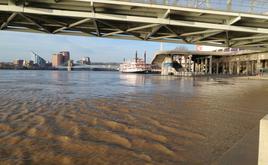
The Ohio River continues to rise. The National Weather Service says as of midday Tuesday, it was at 55.2 feet and expected to rise to 55.5 feet before cresting in the evening. Earlier forecasts put the crest at 56.1 feet coming early Wednesday morning.
A number of roads along the river are closed. Cincinnati Police say Sutton from Two Mile to Kellogg is underwater. Kellogg itself is closed from Four Mile to 275, and from Apple Hill to Wilmer. Cincinnati Police reported Mehring Way was closed between the Sixth Street Viaduct and Freeman. City crews shut a flood gate there.
High water is backing up into other rivers including the Little Miami. That forced the closure of Salem from Wayside to Kellogg, and SR 32 between Beechmont and Newtown.
Backed up water closed Eight Mile between Hopper and 52, and 232 in Clermont County at Point Pleasant.
In Western Hamilton County, Lawrenceburg Road is closed between US 50 and Miamiview Drive because of backflooding into the Great Miami River.
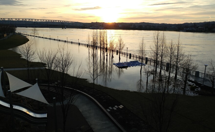
High water flooded some of Cincinnati's parks. Trails at Smale Riverfront Park, Sawyer Point, and Theodore Barry Friendship Park are underwater.
The forecast still calls for heavy rains into the weekend.
